
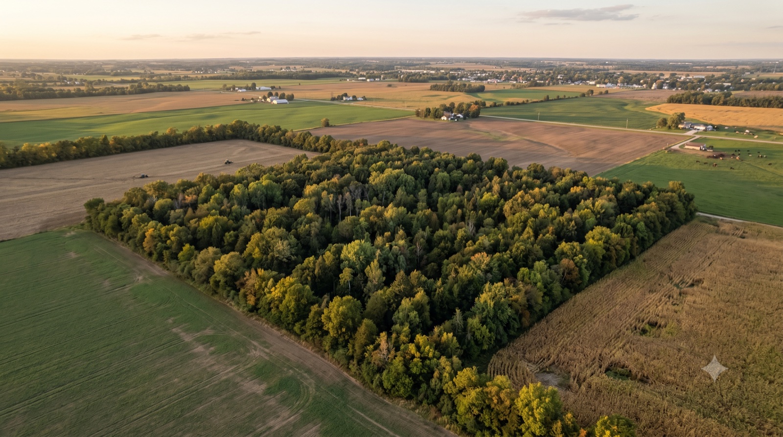
How to Sell Land You Can't Locate on the Ground
Key Takeaways
- You can locate almost any parcel from its legal description and parcel number, even one you've never seen — the description translates into a specific spot on the ground through one of three systems (metes-and-bounds, PLSS section/township/range, or lot-and-block), and county GIS viewers will draw the parcel for you when you search by owner name or APN, according to the Bureau of Land Management and county assessor parcel viewers
- Only a licensed land surveyor can set legal boundaries on the ground — mapping apps like onX and LandGlide overlay county parcel lines for a rough idea but explicitly state they are not a legal survey and can be off by 100 feet or more, according to onX and LandGlide's own disclaimers
- You do not have to survey or even visit the land to sell it — a direct cash buyer can work from the legal description and order the survey themselves, which is why parcels no one in the family can find still sell as-is
How Do You Sell Land You Can't Locate on the Ground?
You start from the paperwork, not the property: pull the deed's legal description and the parcel number, plot them on the county's online GIS map, and you'll usually see exactly where the land sits within a day — even if no one in the family has ever set foot on it. Locating the parcel and marking its true corners is a solvable, well-worn process, and you can sell before you finish it.
This guide is for the heir or absentee owner whose title is fine but who simply cannot find the land — an inherited rural tract in another state, a vacant lot bought decades ago and never visited, or acreage so overgrown and remote that the corner stakes are long gone and there's no street address to type into a map. You hold a valid deed; what you're missing is the ability to point at the ground and say that's mine, and it runs from here to there.
That is a different problem from a broken paper trail. If your trouble is that there's no deed on record proving you own the land at all, that's a title-repair question we cover separately in how to sell a parcel with no recorded deed. This guide assumes the ownership record is clean and the only question is where, physically, is the land, and how do I prove its lines. If you'd rather skip the research and just get a number on the parcel as-is, you can request a no-obligation cash offer, or browse more guides on our blog.
How Do I Find Land I Inherited but Have Never Seen?
Begin with two pieces of paper you almost certainly already have: the deed and a property tax bill. The deed carries the legal description — the surveyor-grade language that pins the parcel to a specific place on Earth — and the tax bill carries the assessor's parcel number (APN), the county's unique ID for that tract, according to LegalClarity and Wikipedia's overview of assessor's parcel numbers.
With those in hand, the fastest path to "there it is on a map" is your county's online GIS parcel viewer. Most county assessors publish one for free, and they let you search by owner name, APN, or address, then draw the parcel outline on an aerial photo, according to the Maricopa County parcel viewer help and the New York State GIS parcel clearinghouse. Type in the deceased owner's name or the parcel number, and the map flies to the tract and highlights its boundaries over satellite imagery. That single step answers the biggest question — roughly where the land is and what it looks like from above — without a survey, a plane ticket, or a machete.
If you can't find the deed or the APN, the two offices that can rebuild them for you are the county assessor (for the parcel number, tax records, and a plat/GIS reference) and the register or recorder of deeds (for the recorded deed and its full legal description). Both are typically searchable online or by a phone call or email with the owner's name.
For the wider set of documents a land sale touches, see our guide on the paperwork needed to sell land. And because so many of these parcels come through an estate, our overview of how to sell inherited land is a useful companion.
How Do I Locate My Property's Boundaries With Only a Legal Description?
Your legal description isn't a riddle — it's a set of directions written in one of three standard systems, and once you know which system yours uses, it points to a specific footprint on the ground. Nearly every recorded parcel in the country is described one of these three ways, according to LegalClarity's guide to the three systems and Township America.
Metes and bounds. The oldest method, used heavily in the original eastern states and for irregular rural tracts. It literally walks the perimeter: a point of beginning, then a sequence of bearings (compass directions in degrees, minutes, and seconds) and distances, often tied to physical monuments like an iron pin, a creek, or an old fence line, according to LegalClarity. You'll spot it by words like "thence" and "point of beginning."
PLSS — section, township, and range. Used across most of the Midwest and West, the Public Land Survey System (also called the rectangular survey system) is the national grid the Bureau of Land Management maintains as the basis for legal descriptions, according to the BLM's Cadastral Survey program. Land is divided into 6-mile-square townships, each holding 36 one-square-mile sections of about 640 acres, and sections are halved and quartered down to smaller aliquot parts — a quarter-section is 160 acres and a quarter-quarter is 40 acres, according to the Wisconsin DNR's PLSS tutorial and Wikipedia's section overview. You read a description like "NW¼ of the SE¼ of Section 14, Township 2 South, Range 3 West" from the smallest piece outward to place it on the grid, according to Stanford University Libraries.
Lot and block (recorded plat). Common in platted subdivisions. The parcel is identified by a lot and block number on a recorded plat map — for example, "Lot 7, Block 3, of the [subdivision name], as recorded in Plat Book X" — and the plat on file at the county shows the layout, according to LegalClarity.
Reading the description tells you the parcel's shape and roughly where it lands. The BLM even publishes free cadastral tools and a national PLSS data layer that let you look up township, range, and section boundaries online, according to the BLM's Cadastral Tools page. But translating those directions into stakes you can actually stand on — accounting for lost monuments, overgrowth, and a century of imprecise records — is the job of a licensed surveyor, which is the next section.
Do I Need a Survey to Sell Land I Can't Locate?
Not necessarily to sell — but you (or your buyer) will almost always want one before closing, because a survey is the only thing that turns a description on paper into corners on the ground that everyone can rely on. A boundary survey is where a licensed surveyor researches the deed, legal description, and recorded plats, then goes into the field to find or set the physical corner markers — usually iron rods or pins, according to LegalClarity's boundary-survey guide.
There's a cheaper, lighter option worth knowing about. When you don't need a full plat and map but just want the corners located, many surveyors offer a "mark the corners" or corner-location service — they hunt for the original monuments (often with a metal detector) and stake them, at a lower cost than a full boundary survey because there's no drawn plat, according to LegalClarity. That can be enough to walk the land and see what you own.
What drives the price is mostly two things: terrain and records. A flat, open, well-documented parcel sits at the bottom of the range; a wooded, sloped, overgrown tract — or one with conflicting historical records and lost corner monuments the surveyor must mathematically re-create — costs more because it takes more field time, calculation, and new materials, according to LegalClarity. For the classic inherited-woods parcel, expect to be on the higher end for exactly those reasons. (There's also the standardized ALTA/NSPS survey, set jointly by the American Land Title Association and the National Society of Professional Surveyors and often required by commercial lenders — thorough, uniform, and the most expensive tier, according to Cretelligent.)
GIS Viewer vs. Mapping App vs. Boundary Survey
| Tool | What it tells you | Rough cost | Legal weight |
|---|---|---|---|
| County GIS parcel viewer | Where the parcel sits and its approximate outline over aerial imagery; owner, APN, acreage | Free | None — reference/tax mapping only |
| Mapping app (onX, LandGlide) | A rough, walk-around overlay of parcel lines on your phone in the field | Low subscription | None — apps state they are not a legal survey |
| Corner-location / "mark the corners" | Physical stakes at your actual corners, no drawn plat | Lower than a full survey | Surveyor-set corners; no plat document |
| Boundary survey | Located/set corners plus a signed, drawn survey plat of the parcel | Higher; varies with terrain and records | Legal boundary determination by a licensed surveyor |
Costs vary widely by state, county, terrain, and complexity — always get a local quote. Sources: LegalClarity (boundary survey steps and costs), onX and LandGlide (app disclaimers), county assessor parcel viewers.
Because a survey often intersects with access questions, our companion guides on selling landlocked land and selling land with no road access or easement are worth a look if you're not sure the parcel can even be reached.
Can I Sell a Parcel I've Never Physically Visited?
Yes — and it happens constantly with inherited and out-of-state land. What a buyer and a title company need is the record of what and where the parcel is: a legal description, the parcel number, and a clean chain of title. They do not need you to have ever walked the property. A survey confirms the exact lines, but ordering and paying for that survey is something a buyer can take on.
This matters because locating land matters to whoever eventually buys it. A retail buyer or their lender wants to know precisely what they're purchasing and where its edges run, which is why a survey is so often required in a conventional sale. If you're selling on the open market, you generally have to resolve the "where is it" question — with a survey — before a financed buyer will close. The mapping apps that overlay parcel lines, useful as a first orientation, don't fill that gap: onX's own guidance and LandGlide's FAQ both state plainly that their lines are a reference, are not a legal survey, and can be off by 100 feet or more because they inherit whatever inaccuracies the county tax maps carry, according to onX and LandGlide.
That's the crux for an owner who can't locate the land: the tools that are cheap and instant aren't legally sufficient, and the tool that's legally sufficient — a survey — costs money and takes time, especially on remote, overgrown ground. Which is exactly the friction a direct cash buyer removes.
If part of your uncertainty is simply what the parcel is worth before you sink money into locating it, start with how much is my land worth. And if you're managing the whole thing from another state, selling land as an out-of-state owner walks through doing it remotely.
What Are Your Options for Selling Land You Can't Locate?
If you can't find the parcel, reach it, or prove its boundaries, you have three realistic paths.
Option 1: Locate and survey it yourself, then list. Pull the description and APN, plot it on the county GIS viewer, hire a surveyor to mark the corners or produce a full plat, and once you know exactly what you're selling, put it on the open market. This maximizes your eventual buyer pool — but you front the survey cost and the time, which runs longer on remote, overgrown tracts, and you take on coordinating fieldwork in a place you may never visit.
Option 2: List and disclose that it's unlocated. Put it on the market as-is and let a buyer sort out the boundaries during escrow. In practice, most retail and financed buyers want the "where exactly is it" question answered before they'll commit, so this tends to attract the same cash buyers you'd reach directly.
Option 3: Sell directly to a cash buyer who handles the location and survey. A direct buyer like Jerez Land is built for exactly this. We work from your deed's legal description and parcel number, plot the parcel ourselves, and order and pay for the survey when one is needed to close. Because we pay cash, there's no lender demanding a survey before you can even accept an offer, and because we take on the fieldwork, the cost, and the effort of locating remote ground, you don't have to travel to it or spend a dollar finding it. Every offer is individually priced to your specific parcel — there's no generic formula, because no two hard-to-find tracts are alike.
Request a no-obligation cash offer and tell us what you have — a legal description, a parcel number, an old tax bill, or just the county and the family name. We'll locate the land from the records and take it from there. There are no commissions and no listing fees.
Dealing with more than a hard-to-find parcel? See our guides on how to sell inherited land, the paperwork needed to sell land, and how much your land is worth. For more guides, visit our blog.
Frequently Asked Questions
I inherited 20 acres of woods in another state from my father and have no idea where the boundaries are — can I still sell it?
Yes. You don't need to know the boundaries or ever visit to sell the land. Start by pulling your father's deed for the legal description and a tax bill for the parcel number, then search the county's online GIS parcel viewer by his name or the parcel number to see the tract's location and rough outline on an aerial map. From there, a buyer can order a survey to confirm the exact corners. Many cash buyers, including Jerez Land, will work straight from the legal description, handle the survey themselves, and close without you setting foot on the property.
I only have the legal description from an old deed and can't find my parcel on a map — how do I locate it?
Identify which of the three description systems yours uses — metes-and-bounds (bearings, distances, and "point of beginning"), PLSS (section, township, and range), or lot-and-block (a numbered lot on a recorded plat) — then plot it on the county assessor's GIS parcel viewer. Most counties let you search by owner name, parcel number, or address and will draw the parcel over satellite imagery. For PLSS descriptions, the Bureau of Land Management also publishes free cadastral tools that map township, range, and section boundaries online.
Are onX or LandGlide accurate enough to sell my land by?
No. Apps like onX and LandGlide are useful for getting a rough sense of where a parcel is and walking its approximate edges on your phone, but both state in their own materials that their lines are a reference only, are not a legal survey, and can be off by 100 feet or more because they rely on county tax maps. For a sale, boundaries have to be set by a licensed surveyor. Treat the apps as a first orientation, not proof of where your lines run.
What's the difference between just marking the corners and a full boundary survey?
A corner-location or "mark the corners" service sends a surveyor to find your existing corner monuments — often with a metal detector — and stake them, without producing a drawn plat, which makes it cheaper. A full boundary survey does that and also delivers a signed, drawn survey plat of the whole parcel, researched from the deed and recorded records. Marking the corners is often enough to see what you own; a full survey is what buyers and lenders usually want before closing a conventional sale.
Why is a survey on my remote, overgrown parcel more expensive than on a normal lot?
Two factors drive survey cost above all others: terrain and records. A wooded, sloped, or overgrown tract takes more field time to clear and traverse, and a parcel with old, conflicting records or corner monuments that have been lost or disturbed forces the surveyor to mathematically re-create the corners from record data and set new ones. Both are common on inherited rural land, which pushes the price toward the higher end of the range. A local surveyor can give you a firm quote once they see the description.
I don't want to pay for a survey before I know my land will even sell — can I get a cash offer without one first?
Yes. A direct cash buyer can make an offer working from your deed's legal description and parcel number, without you commissioning a survey first. Because there's no mortgage lender involved, no one requires a completed survey before an offer can be accepted, and an experienced land buyer will typically order and pay for any survey needed to close. That's the practical advantage for an owner who can't locate the land: you're not spending money to find out where it is before you even know what it will sell for.
Disclaimer: This article is for informational purposes only and does not constitute legal, financial, surveying, or professional advice. Laws, survey requirements, and county record systems vary by jurisdiction and change over time. Always consult a licensed land surveyor and a local real estate attorney before making decisions about locating property boundaries, ordering surveys, or selling land. Jerez Land is not responsible for actions taken based on this information.